

Mawddach/Dolgeallau Area
Key information: Mawddach/Dolgeallau Area 
- The lovely Mawddach Estuary and Dolgellau area has a plethora of fine walks.
- In addition to jewel-in-crown Cadair Idris, fit in something different, be it on the middle slopes and hills or on the estuary bottom.
Walkopedia rating
- Walkopedia rating88
- Beauty31
- Natural interest14
- Human interest12
- Charisma31
- Negative points0
- Total rating88
Vital Statistics
- Length: Variable
- Maximum Altitude: 893m (Cadair Idris)
- Level of Difficulty: Variable

WALK SUMMARY
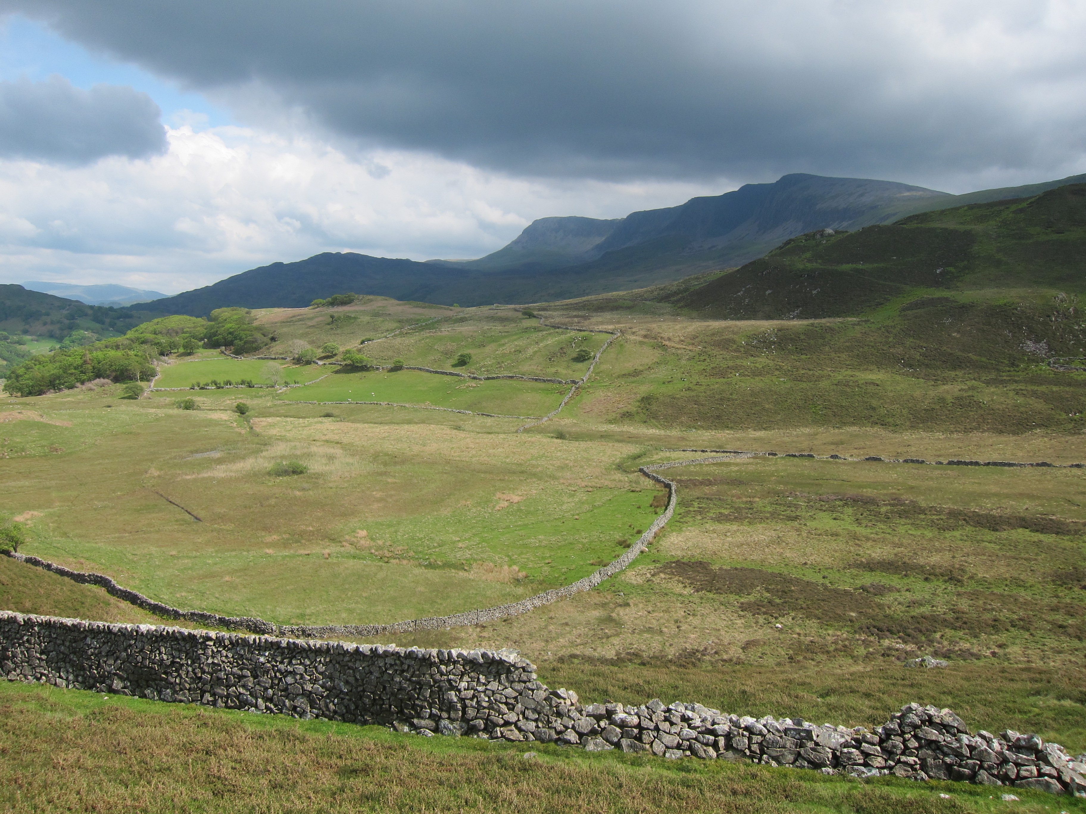
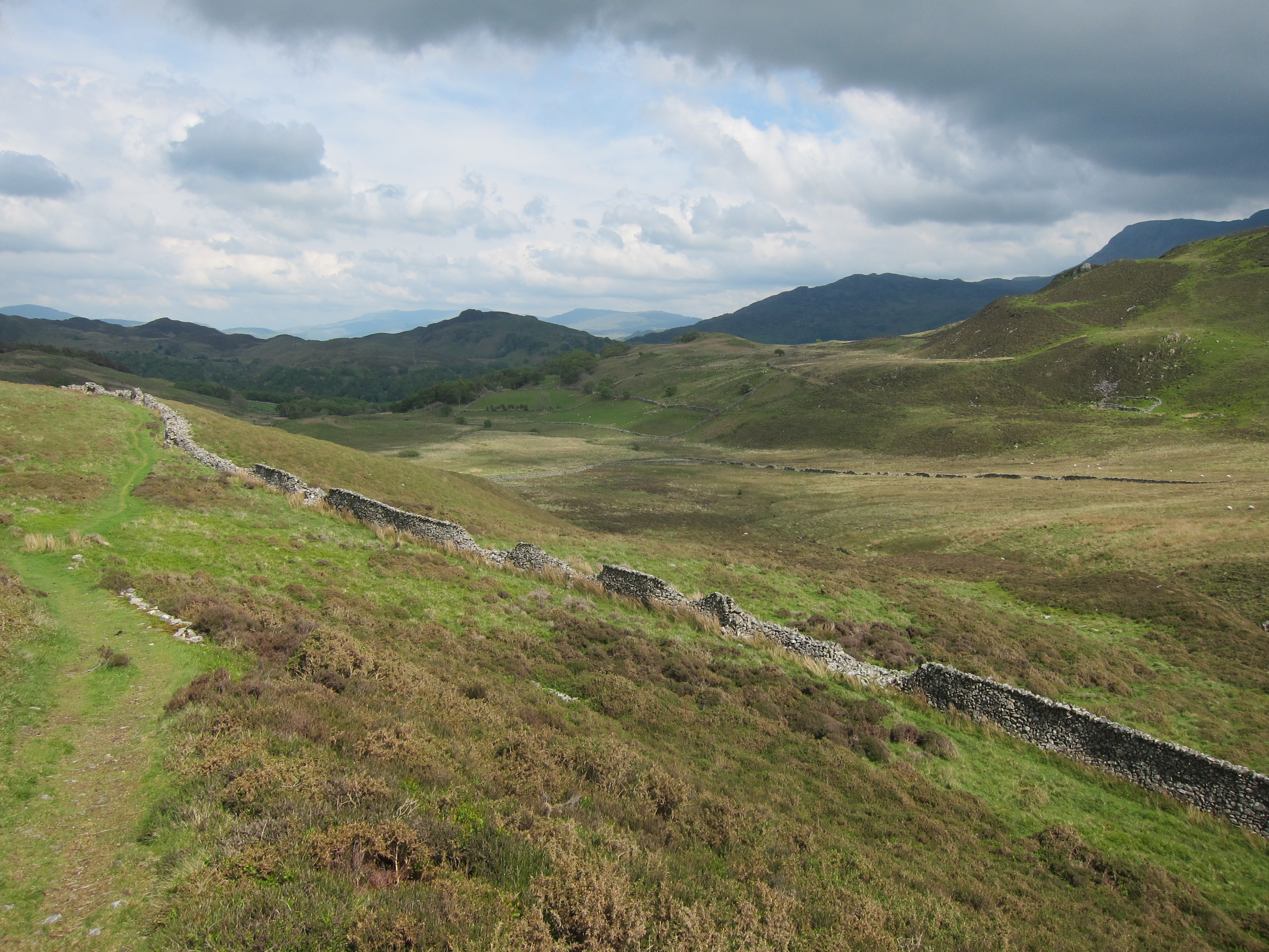
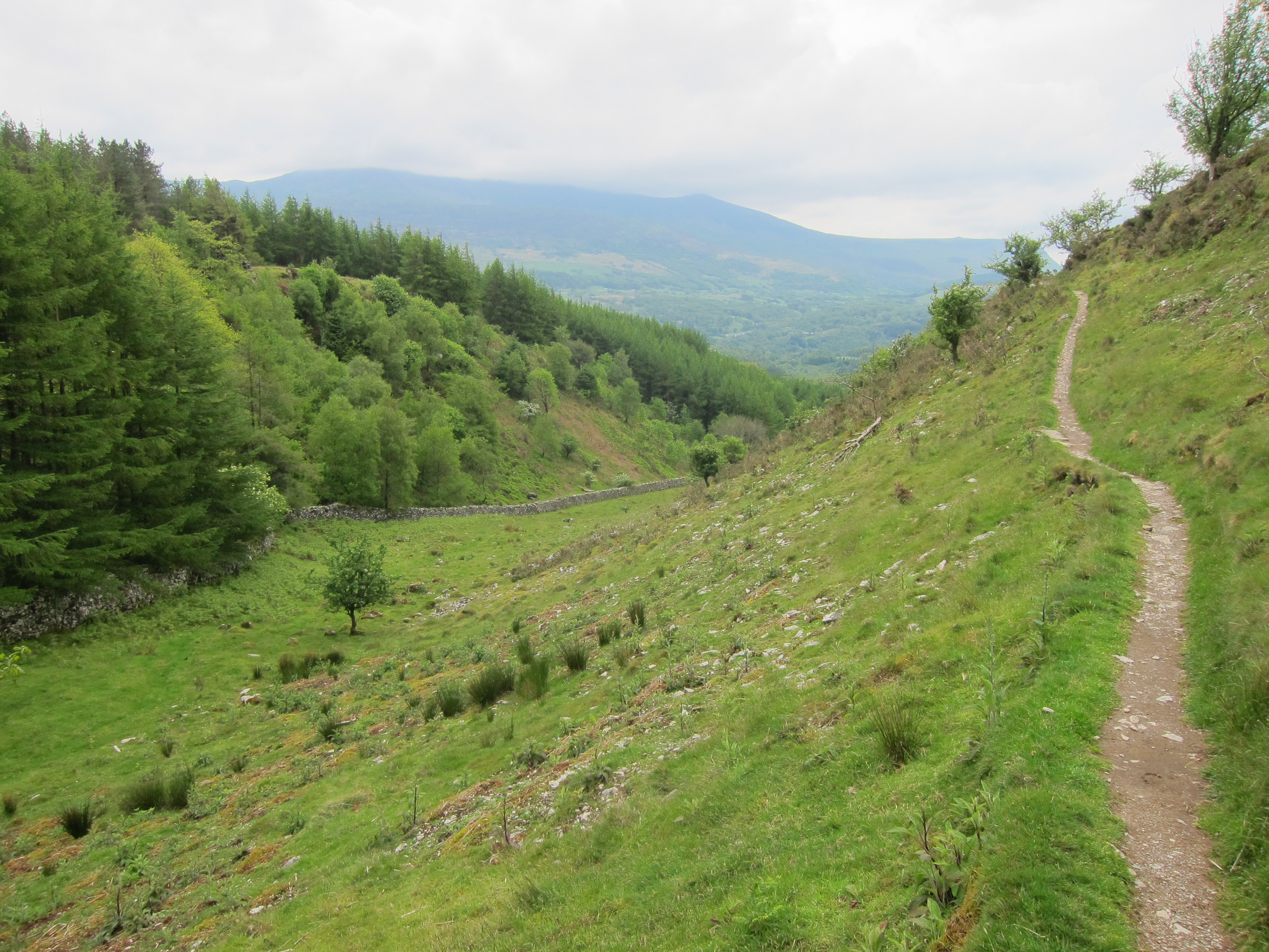
The beautiful area around the Mwddach valley and estuary, and the pleasing little town of Dolgellau, has a plethora of fine walks.
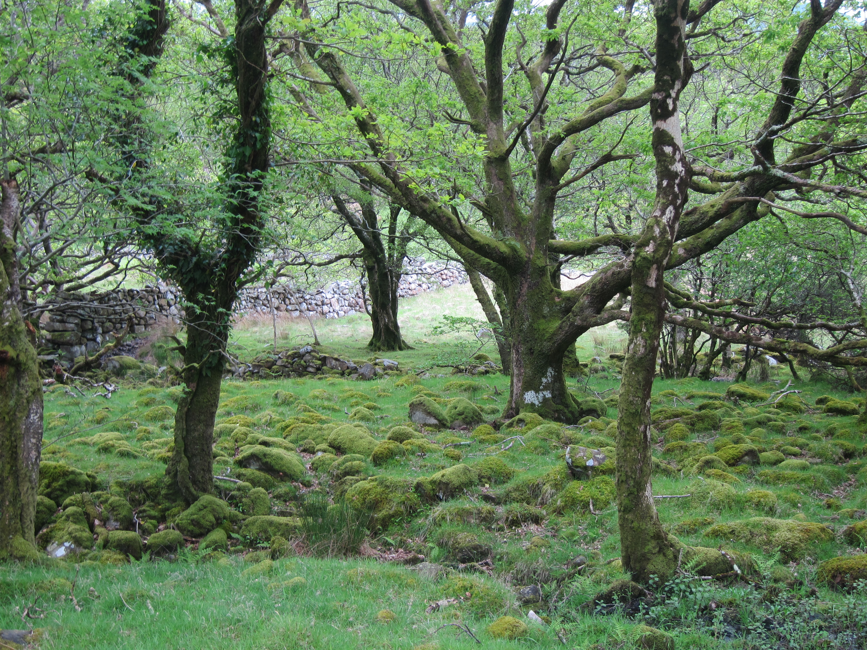
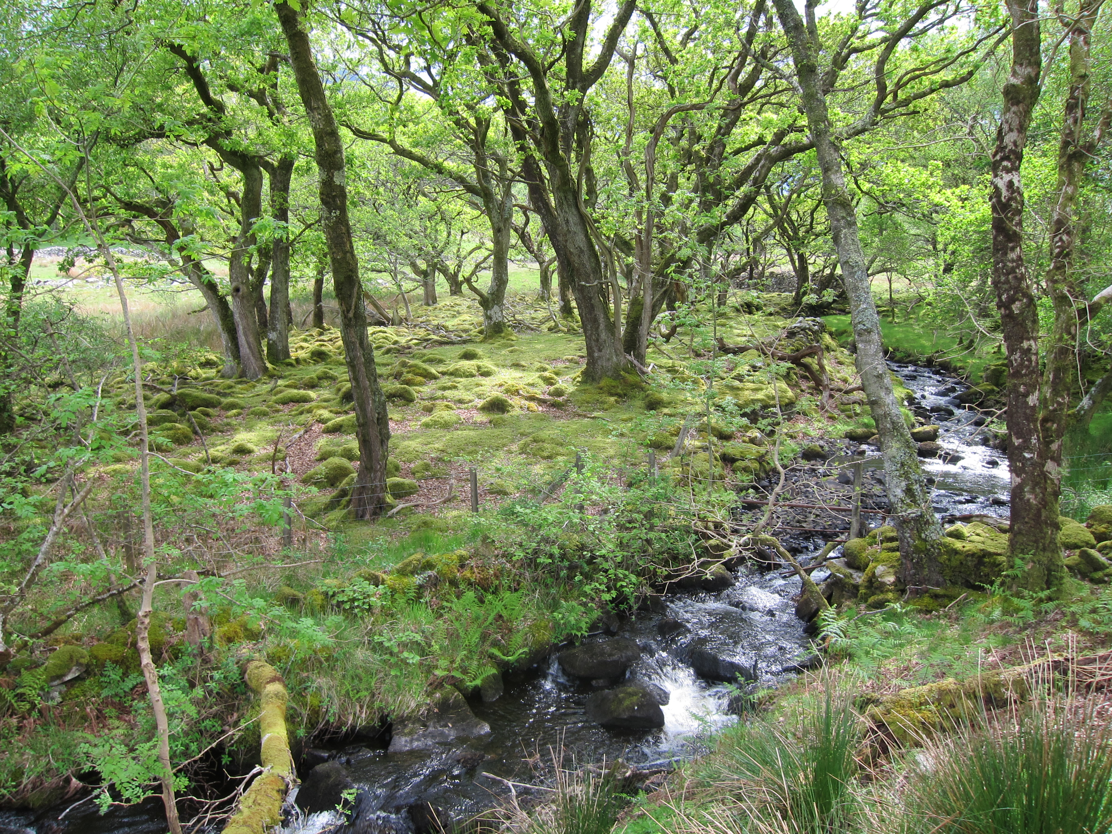
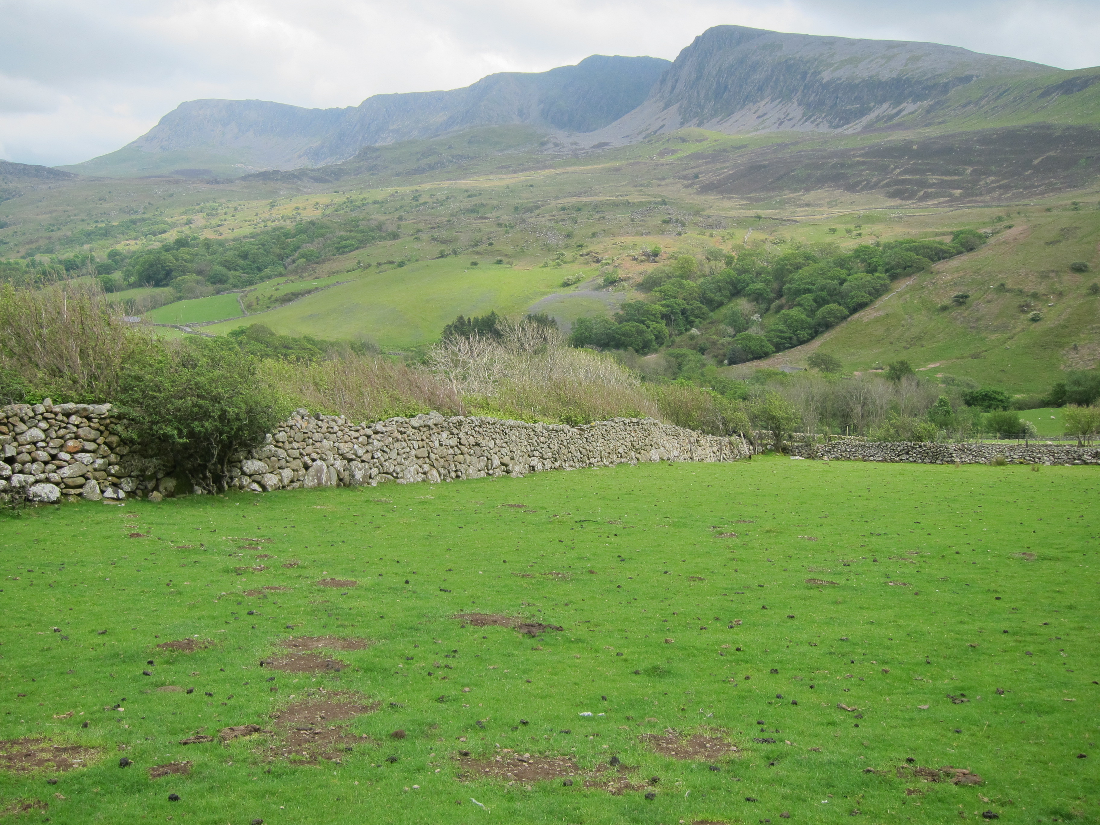
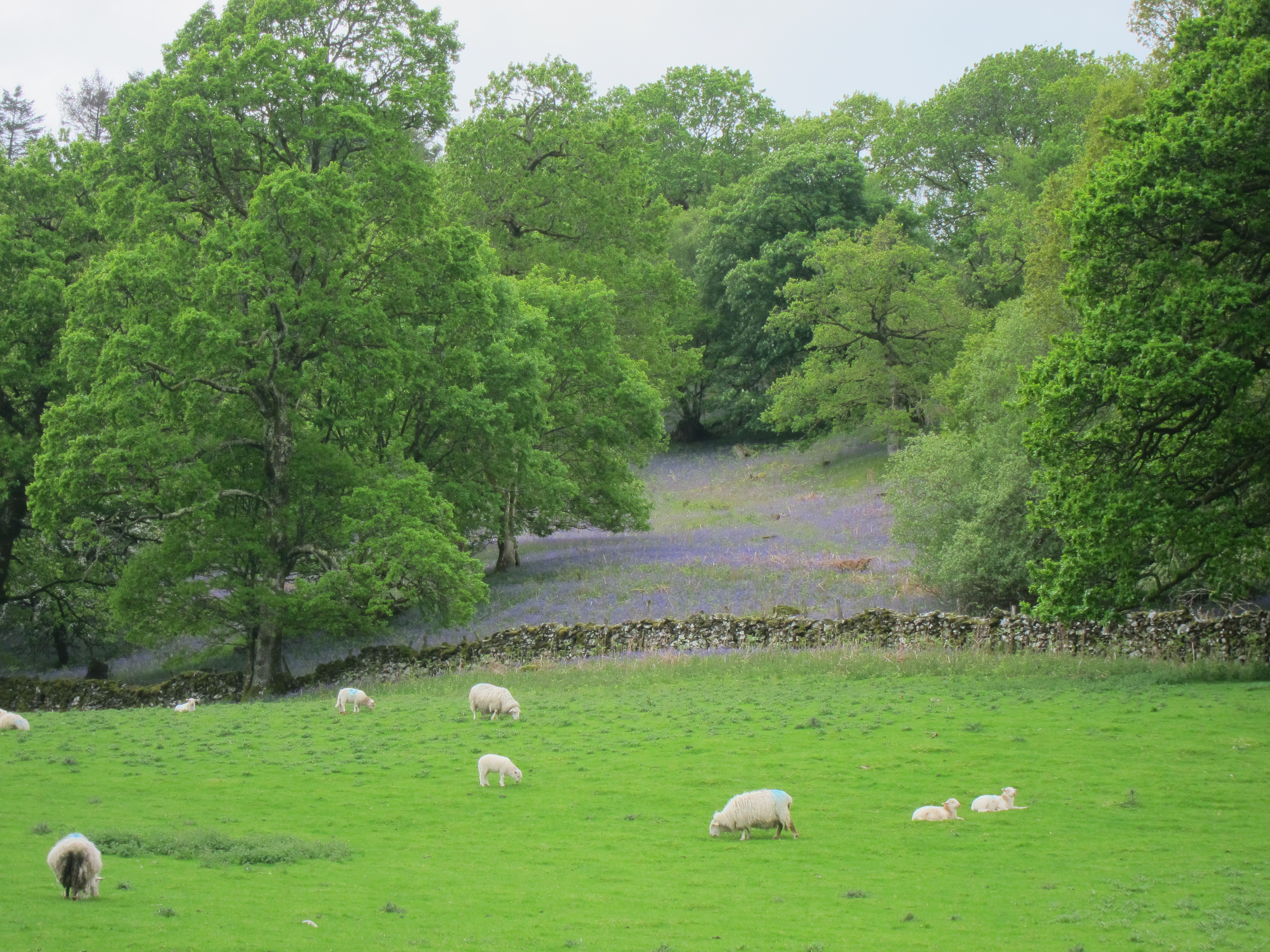
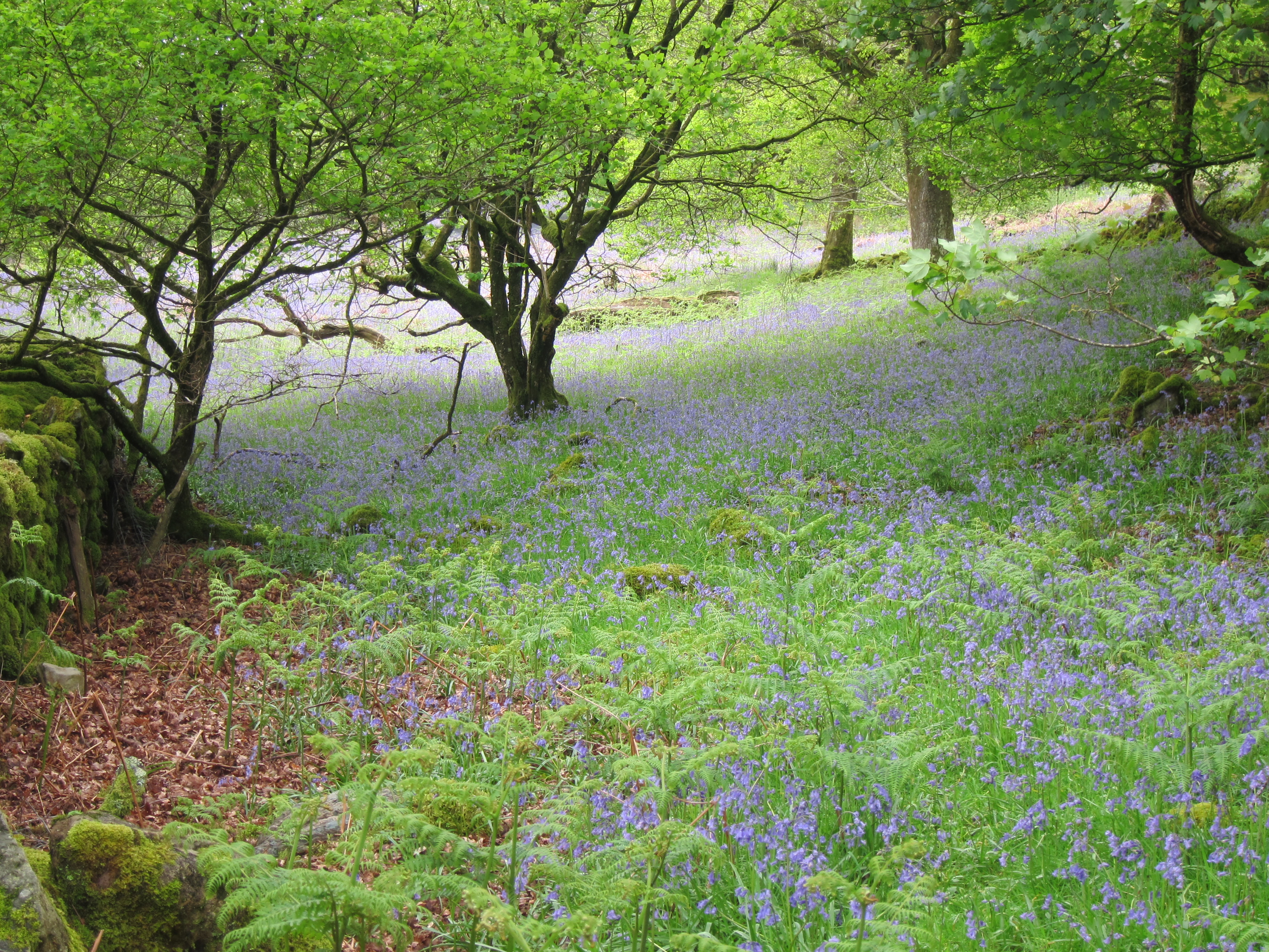
The whole area is textbook glacial. You will encounter a variety of ecosystems (woodland, sheep pasture, moorland and rough mountain slopes, with Alpine/Arctic conditions and areas of tough bare rock on high ground.
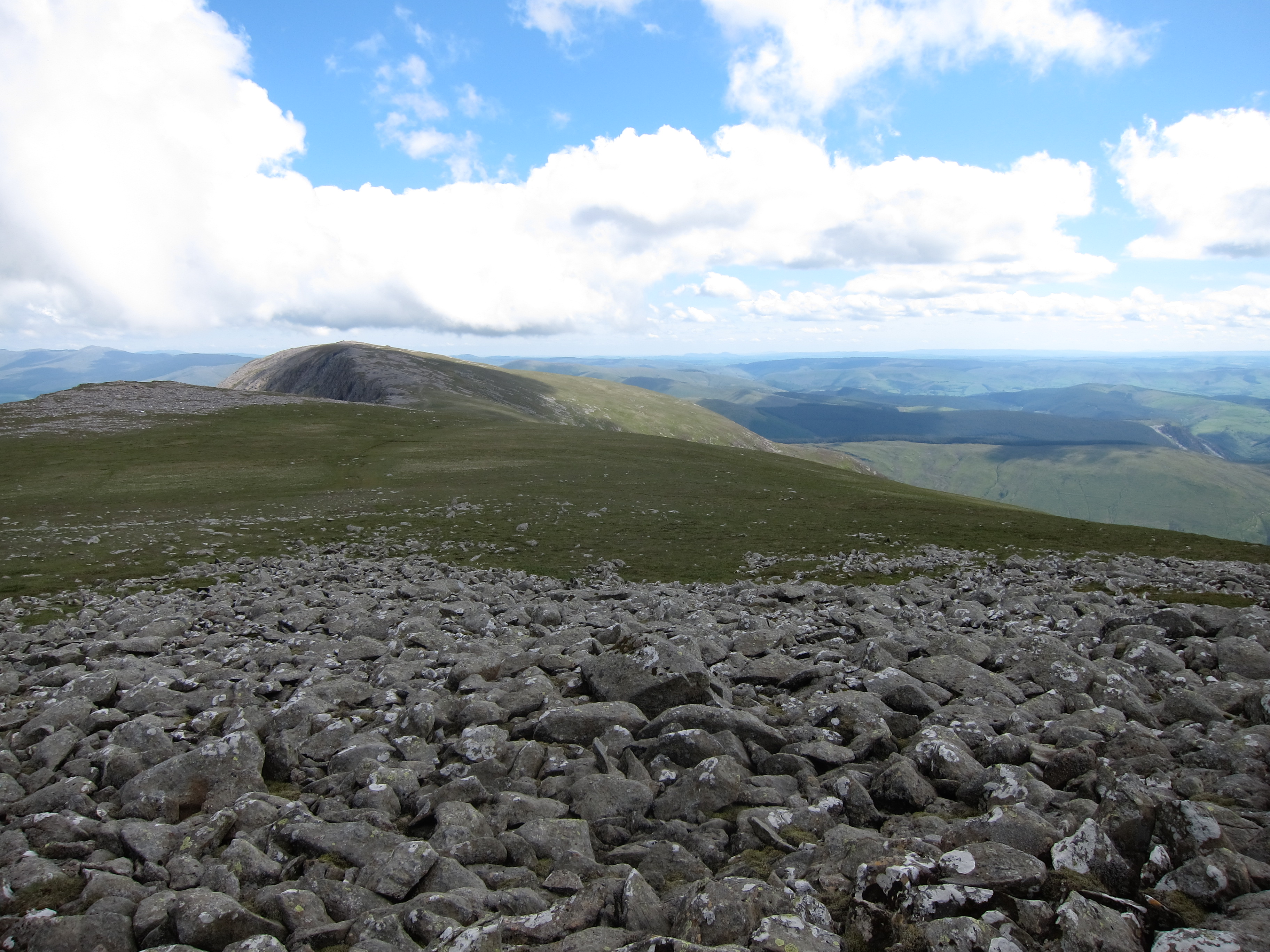
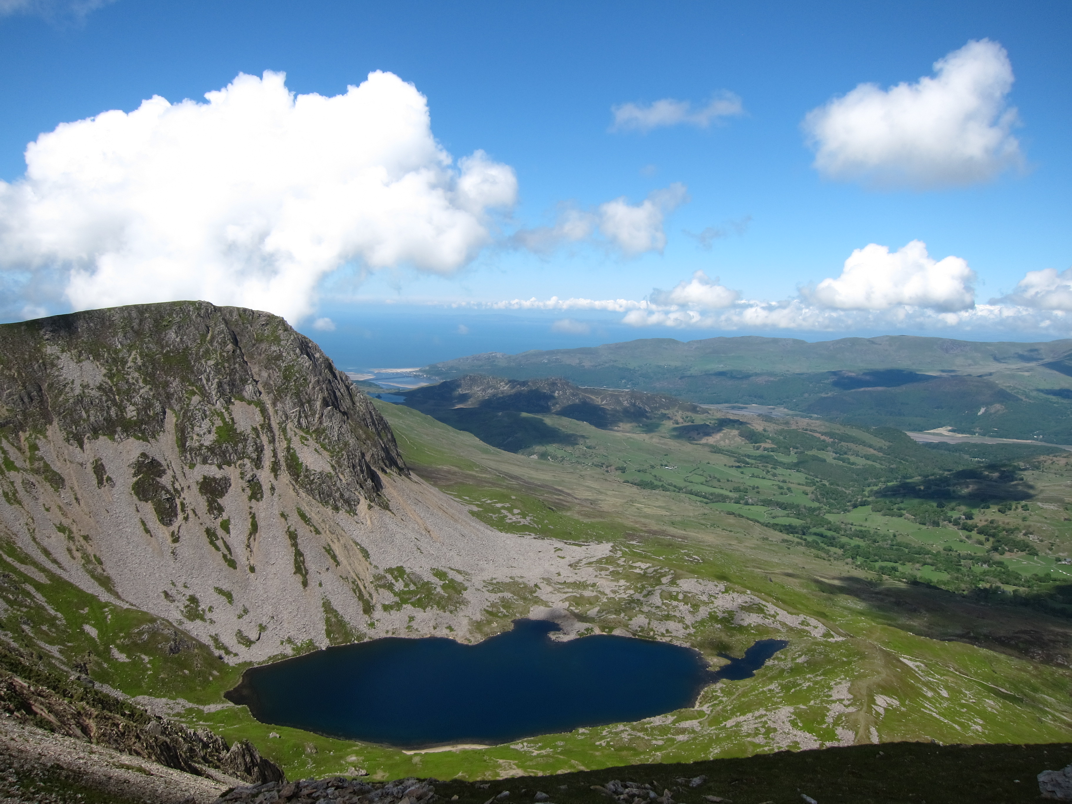
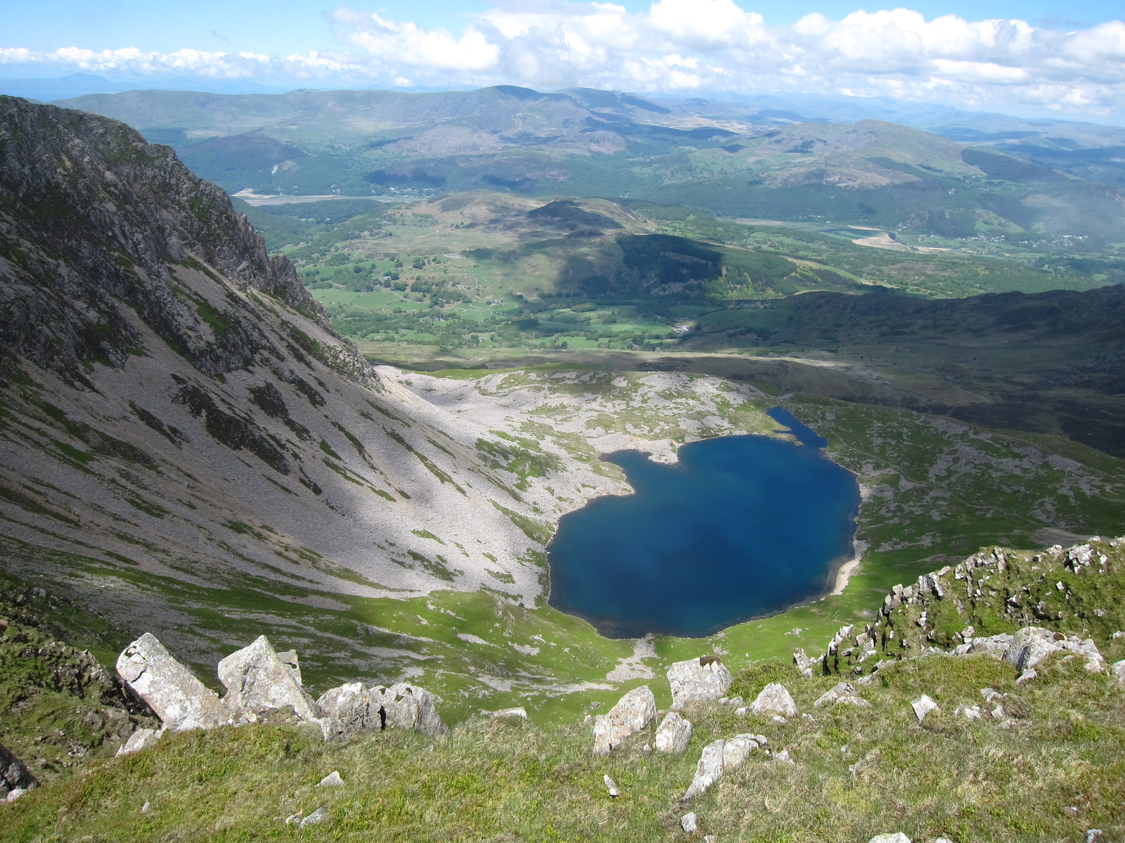
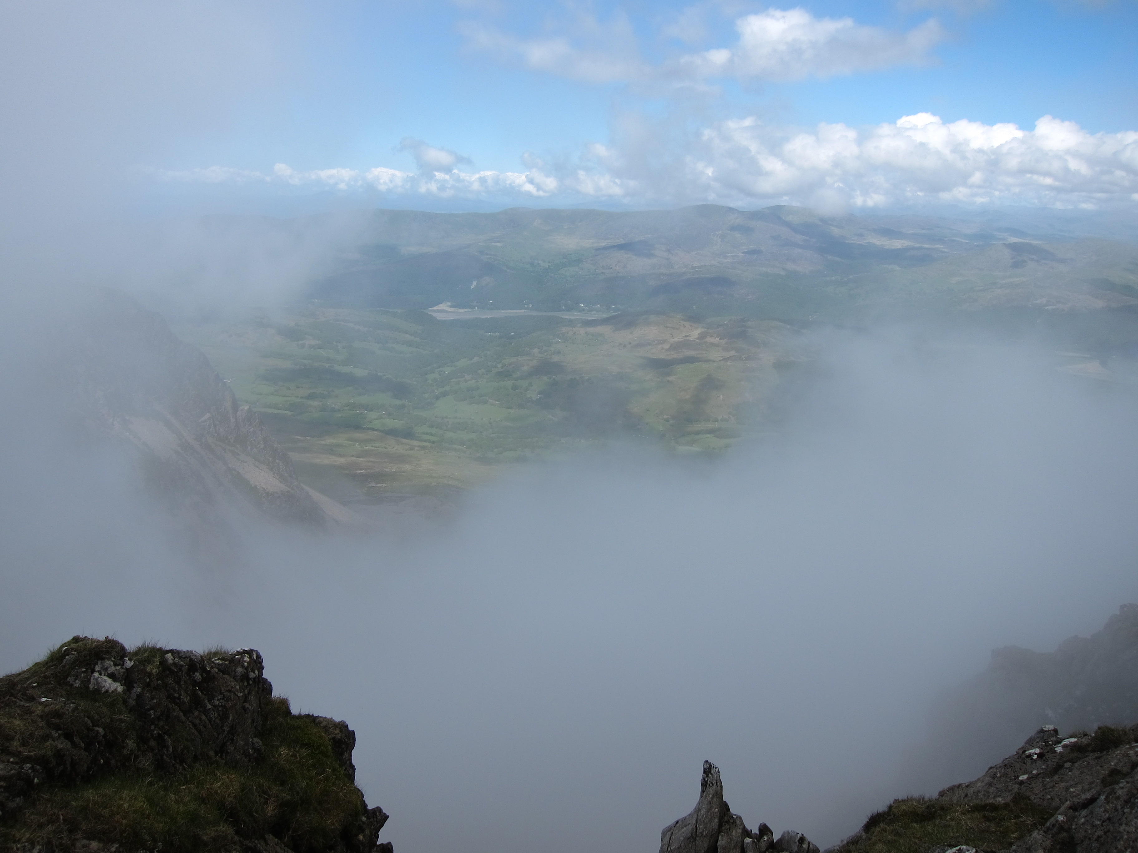
The jewel in the crown is the Cadair Idris ridge, which looms grandly to the south. It is easy to see why Cader (as it is known) is one of Wales’ most-loved mountains, as it is a fine climb through gorgeous scenery, gaining increasingly dramatic views back over estuary and valley and receding mountain ridges, with the huge sweep of Cardigan Bay to the west. At 893m, it would not quite count as a Munro in Scotland but, as the highest point for miles around, the summit commands suitably stunning 360˚views. The cliff-lined high ridge of this great massif is more than 11km (7 miles) long, with a variety of walking options once on top, so don’t just think of an up-and-down climb (or consider other parts of the ridge, such as Craig-las. There are 3 main ways up Cader.
Other excellent walks include:
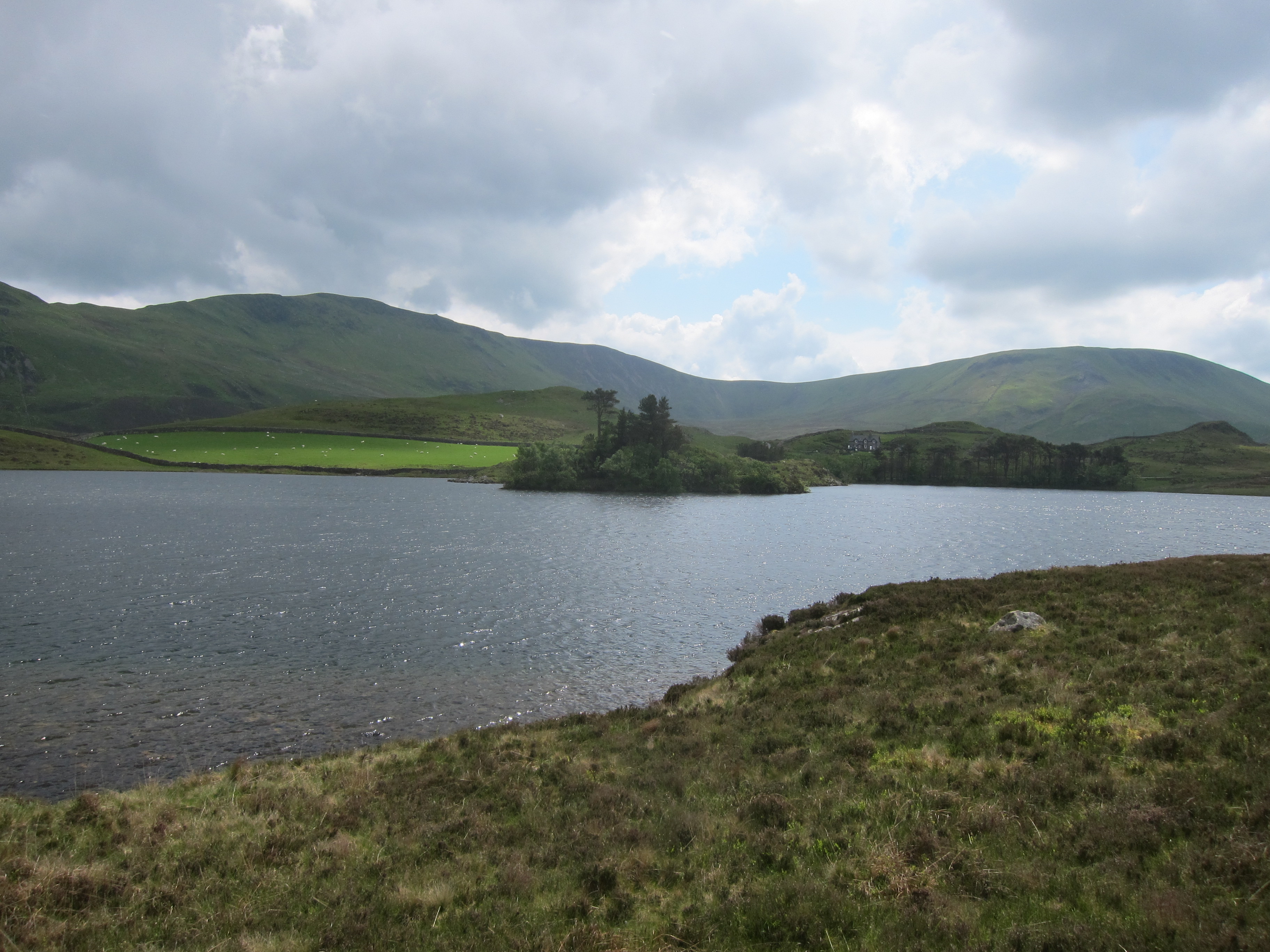
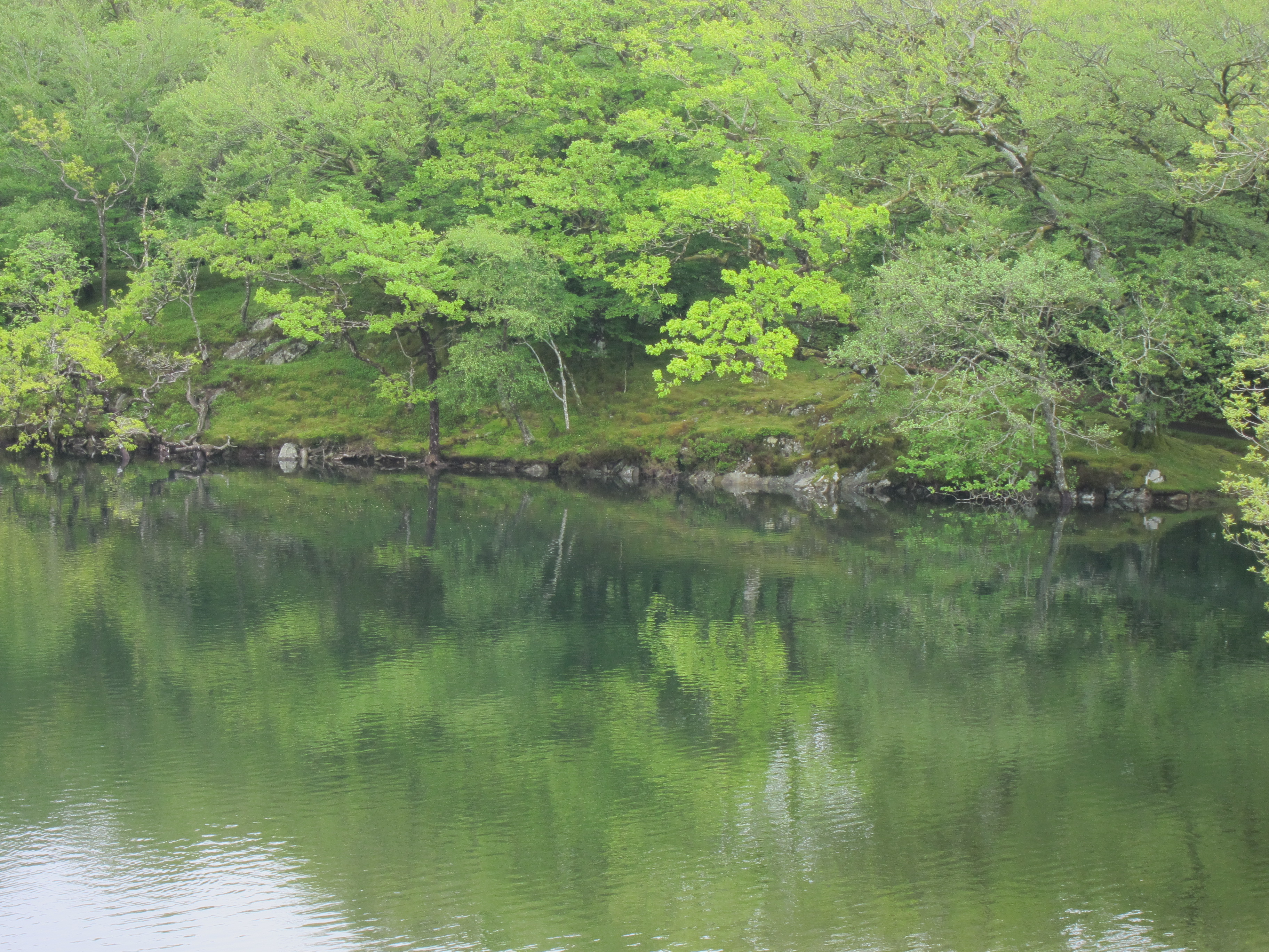
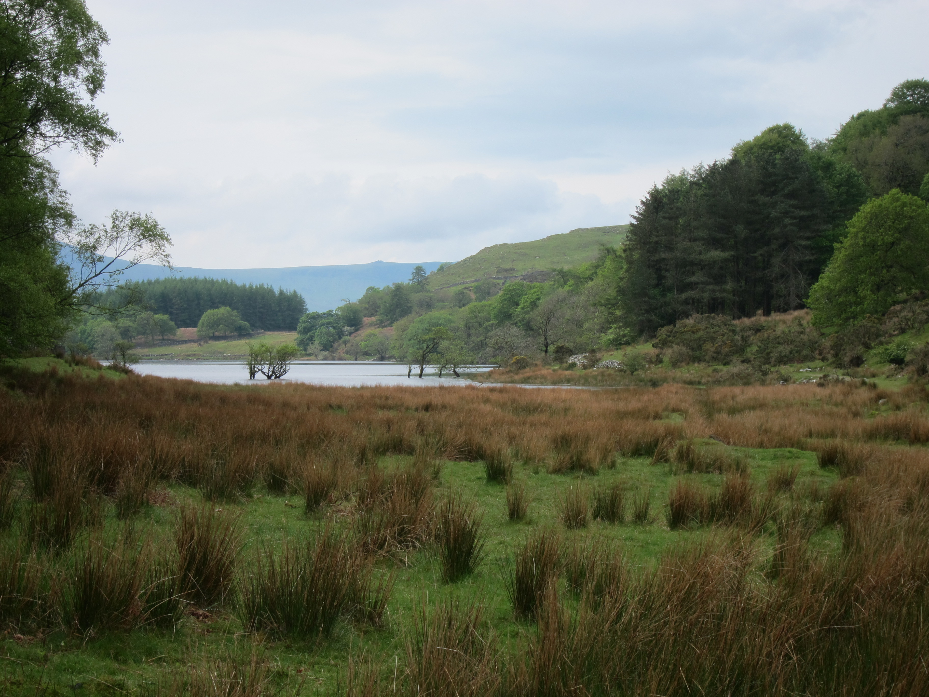
The area round beautiful Cregennan lake, just north of Cader. Create your own circuit through rough and boggy uplands, hill farms and woodland, with the great ridge always looming above you. A Walkopedia favourite.
The well-known Precipice Walk, some 5 miles north of Dolgellau, which circles a pretty hill, winding along its very steep western hillside. (precipice is a bit hyperbolic) and beside a ravishing little lake below its eastern slopes. Lovely vegetation and views. Has been promoted since Victorian times.
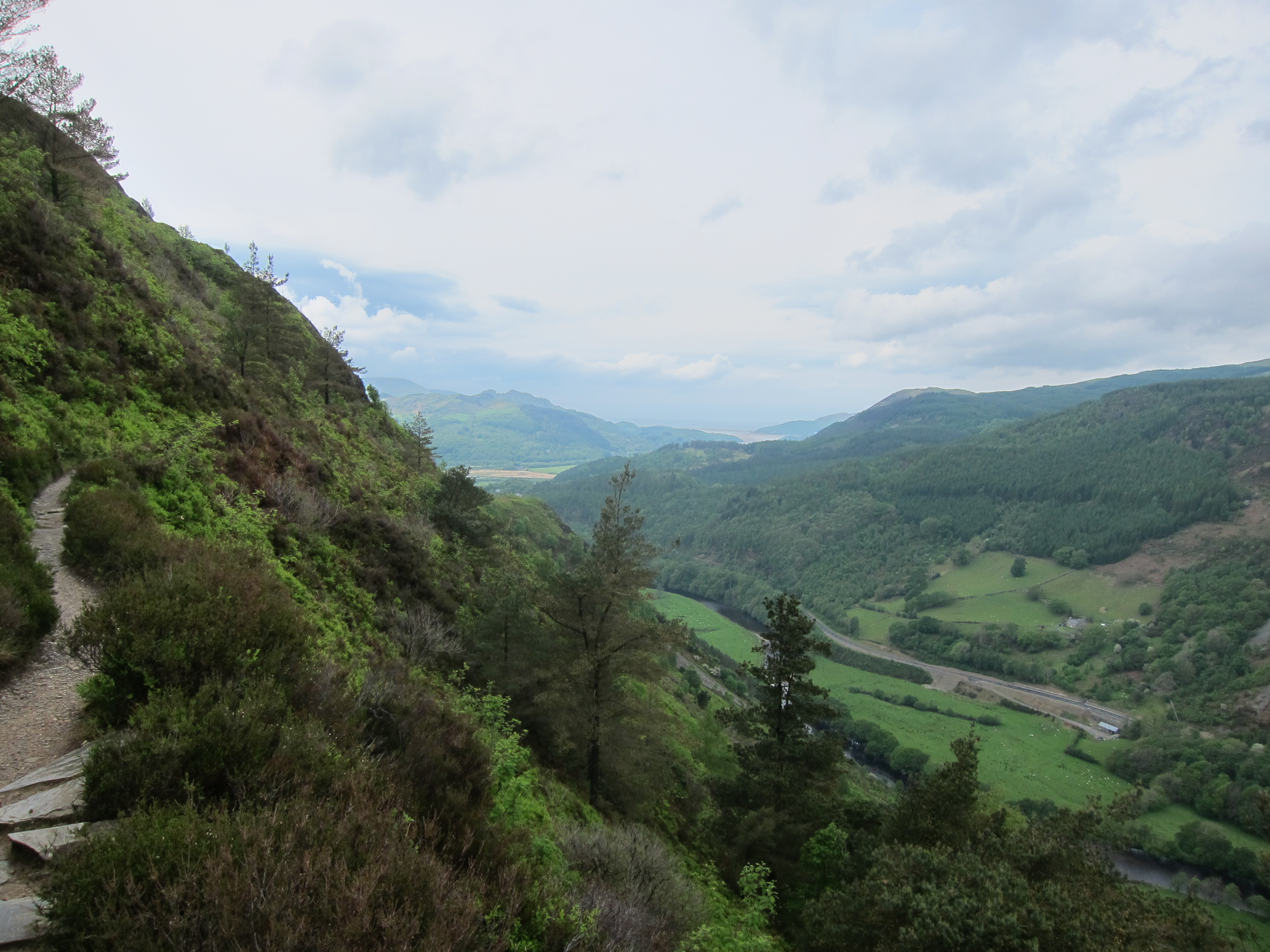
The New Precipice Walk, not far away on the northern slopes, is an easy path which follows an old gold mining tramway cut into at times steep valley sides for some spectacular views down the estuary to the sea.
The Mawddach Trail, following the route of an old railway line from Dolgellau to Barmouth on the coast. Easy but pleasant, and can be bicycled. Consider a break and the riverside George III pub.
The Mawddach Way, which circuits the estuary in 3 days or so. 50km.
The Rhinogs, north of the estuary, are heathery and famously rugged. And emptier. Oustanding views.
The woodland walk by the Arthog Falls near Fairbourne on the coast is pretty, and will have you puffing a bit.
See our Snowdonia page for more information on the wider area.
Other accounts: share your experiences
Your comments on this walk, your experiences and suggestions, and your photos are very welcome. Where appropriate, you will be credited for your contribution.

We have a lot of helpful practical information and tips about this walk, covering everything from the best books and maps, to timing and weather, geting there, possible problems, whether you need a guide and where to find them, and useful websites. This section is only open to members.
Membership is FREE AND JOINING TAKES 30 SECONDS. To login or sign up click here
Safety and problems: All walks have inherent risks and potential problems, and many of the walks featured on this website involve significant risks, dangers and problems. Problems of any sort can arise on any walk. This website does not purport to identify any (or all) actual or potential risks, dangers and problems that may relate to any particular walk.
Any person who is considering undertaking this walk should do careful research and make their own assessment of the risks, dangers and possible problems involved. They should also go to “Important information” for further important information.
Anyone planning an expedition to this place should see further important information about this walk.
Safety and problems: All walks have inherent risks and potential problems, and many of the walks featured on this website involve significant risks, dangers and problems. Problems of any sort can arise on any walk. This website does not purport to identify any (or all) actual or potential risks, dangers and problems that may relate to any particular walk.
Any person who is considering undertaking this walk should do careful research and make their own assessment of the risks, dangers and possible problems involved. They should also go to “Important information” for further important information.

OTHER ACCOUNTS
share your experiences
Add your experiences, suggestions and photos. We would be delighted to receive your writing and ideas (which will be attributed appropriately where published).
Anyone planning an expedition to this place should see further important information about this walk.

Responsible travel matters, a lot. How you travel will make a real difference - for better or worse. PLEASE consider this when making plans. Read more
Other great walks in United Kingdom
-
England, Blenheim Park
-
England, Epping Forest
-
England, Oxford Kora (Martin's Trail)
-
England, Stowe Gardens
-
England, Thames Path
-
England, The Ridgeway
-
England, The Whittington Way
-
England, Cotswolds, Cotswold Way
-
England, Cotswolds, Diamond Way
-
England, East Anglia, Anna's Walk
-
England, Hadrian's Wall, Cawfields to Birdoswald
-
England, Hadrian's Wall, Sewingshields to Cawfields
-
England, Lake District, Blencathra / Saddleback
-
England, Lake District, Catbells and High Spy
-
England, Lake District, Coast to Coast across Lake District
-
England, Lake District, Cumbria Way and High Way
-
England, Lake District, Grasmere / Far Easedale
-
England, Lake District, Great Gable
-
England, Lake District, Hay Stacks /High Stile Ridge
-
England, Lake District, Helvellyn and Striding Edge
-
England, Lake District, High Street
-
England, Lake District, Langdale Pikes
-
England, Lake District, Langdale Valleys
-
England, Lake District, Martindale
-
England, Lake District, Pavey Ark via Jack's Rake
-
England, Lake District, Pillar
-
England, Lake District, Scafell Pike
-
England, Lake District, Skiddaw
-
England, Lake District, Swirl How and Great Carrs
-
England, Lake District, The Old Man of Coniston
-
England, North, Cleveland Way
-
England, North, Coast to Coast
-
England, North, Durham Heritage Coastal Path
-
England, North, Pennine Way
-
England, South, Box Hill
-
England, South, South Downs Way
-
England, South, Tennyson Trail, Isle of Wight
-
England, South, The Pilgrim's Way
-
England, South, Winnall Moors
-
England, South-west, Jurassic Coast
-
England, South-west, Lundy Island
-
England, South-west, South West Coast Path
-
England, South-west, Two Moors Way
-
England, South-west, Weymouth to Kimmeridge
-
England, South-west, Exmoor, Barle Valley
-
England, South-west, Exmoor, Dunkery Beacon
-
England, South-west, Exmoor, Exmoor
-
England, South-west, Exmoor, North Devon Coastal Path
-
England, West, Malvern Hills
-
England, Yorkshire Dales, Dales Way
-
England, Yorkshire Dales, Feizor Thwait and Smearsett Scar
-
England, Yorkshire Dales, Ingleborough
-
England, Yorkshire Dales, Malham Cove and Gordale Scar
-
England, Yorkshire Dales, Sleddale and Wether Fell
-
England, Yorkshire Dales, Wensleydale
-
England, Yorkshire Dales, Yorkshire Dales
-
England/Wales, Offa's Dyke Path
-
Northern Ireland, Mountains of Mome
-
Northern Ireland, Causeway Coast, Causeway Coast Way
-
Northern Ireland, Causeway Coast, Portstewart to Portballintrae
-
Scotland, Edinburgh
-
Scotland, Great Glen Way
-
Scotland, Stalking
-
Scotland, Aberdeenshire, Bennachie
-
Scotland, Aberdeenshire, Dunottar
-
Scotland, Borders, Eildon Hills
-
Scotland, Borders, Southern Uplands Way
-
Scotland, Borders, St Abbs Head
-
Scotland, Borders, St Cuthbert's Way
-
Scotland, Borders, The Borders
-
Scotland, Cairngorms, Beinn a Bhuird
-
Scotland, Cairngorms, Ben Avon
-
Scotland, Cairngorms, Ben Macdui
-
Scotland, Cairngorms, Cairn Gorm
-
Scotland, Cairngorms, Cairn Toul and Braeriach
-
Scotland, Cairngorms, Capel Mounth Track
-
Scotland, Cairngorms, Carn a'Mhaim
-
Scotland, Cairngorms, Gellaig Ridge
-
Scotland, Cairngorms, Glen Callater
-
Scotland, Cairngorms, Glen Gairn
-
Scotland, Cairngorms, Glen Lui
-
Scotland, Cairngorms, Head of the Don Valley
-
Scotland, Cairngorms, Lairig Ghru
-
Scotland, Cairngorms, Lochnagar and Loch Muick
-
Scotland, Cairngorms, Muir of Dinnet (Loch Kinord and Burn O'Vat)
-
Scotland, Cairngorms, Sron Riach ridge to Ben Macdui
-
Scotland, Cairngorms, Tolmount /Jock's Road
-
Scotland, Cairngorms, Upper Dee Valley
-
Scotland, Isles, Mull, Iona
-
Scotland, Isles, Skye, Bla Bheinn
-
Scotland, Isles, Skye, Black Cuillin Ridge
-
Scotland, Isles, Skye, Bruach na Frithe
-
Scotland, Isles, Skye, Camasunary and the Elgol Peninsula
-
Scotland, Isles, Skye, Coire Lagan and Sgurr Alasdair
-
Scotland, Isles, Skye, Coire na Creiche
-
Scotland, Isles, Skye, Coral Beach
-
Scotland, Isles, Skye, Eastern Red Cuillin Circuit
-
Scotland, Isles, Skye, Glen Sligachan
-
Scotland, Isles, Skye, Loch Coruisk
-
Scotland, Isles, Skye, NW Capes and Cliffs
-
Scotland, Isles, Skye, Quiraing
-
Scotland, Isles, Skye, Raasay
-
Scotland, Isles, Skye, Rhub an Dunain
-
Scotland, Isles, Skye, Rubha Hunish
-
Scotland, Isles, Skye, Sgurr Dearg and Inaccessible Pinnacle
-
Scotland, Isles, Skye, Sgurr na Stri
-
Scotland, Isles, Skye, Sgurr nan Gillean
-
Scotland, Isles, Skye, Skye Trail
-
Scotland, Isles, Skye, Strath Mor and Strath Beag
-
Scotland, NW Highlands, Beinn Eighe
-
Scotland, NW Highlands, Ben Stack
-
Scotland, NW Highlands, Ardnamurchan, Silver Walk
-
Scotland, NW Highlands, Ardnamurchan, Ardnamurchan Area
-
Scotland, NW Highlands, Ardnamurchan, Beinn Resipol
-
Scotland, NW Highlands, Ardnamurchan, Ben Hiant
-
Scotland, NW Highlands, Ardnamurchan, Garbh Bheinn of Ardgour
-
Scotland, NW Highlands, Assynt, Achmelvick Bay
-
Scotland, NW Highlands, Assynt, Stac Pollaidh
-
Scotland, NW Highlands, Assynt, Suilven
-
Scotland, NW Highlands, Knoydart, Inverie to Glenfinnan
-
Scotland, Orkney Islands, Hunda Reef, Burra
-
Scotland, Orkney Islands, Marwick Head
-
Scotland, Orkney Islands, Mull Head, Deerness
-
Scotland, Orkney Islands, North-west Coast, Westray
-
Scotland, Orkney Islands, Orkney Islands
-
Scotland, Orkney Islands, Skara Brae to Stromness
-
Scotland, Orkney Islands, The Old Man and St John's Head, Hoy
-
Scotland, SW Highlands, Ben Nevis
-
Scotland, SW Highlands, Bridge of Orchy to Kingshouse, Rannoch Moor
-
Scotland, SW Highlands, Kingshouse to Kinlochleven
-
Scotland, SW Highlands, Kinlochleven to Fort William
-
Scotland, SW Highlands, Upper Glen Nevis
-
Scotland, SW Highlands, West Highland Way
-
Wales, Ceredigion Coastal Path
-
Wales, Craig Cefn Parc
-
Wales, Black Mountains, Black Hill Ridge
-
Wales, Black Mountains, Black Mountains
-
Wales, Black Mountains, Castell Dinas and Rhiangoll Valley
-
Wales, Black Mountains, Crug Hywel
-
Wales, Black Mountains, Hatterrall Ridge
-
Wales, Black Mountains, Skirrid Fawr
-
Wales, Black Mountains, Sugarloaf
-
Wales, Brecon Beacons, Brecon Beacons
-
Wales, Brecon Beacons, Fforest Fawr
-
Wales, Brecon Beacons, Pen Y Fan
-
Wales, Brecon Beacons, The Beacons Way
-
Wales, Brecon Beacons, The Black Mountain
-
Wales, Pembrokeshire, Pembrokeshire Coast Path
-
Wales, Pembrokeshire, The Golden Road, Preseli Hills, Pembrokeshire
RESEARCH ESSENTIALS
Information and review
Finding flights, organising travel
Car hire
Accommodation
- Booking.com
 Search and book the best places to stay
 -
TripAdvisor
Equipment & Clothing
Books and Maps
- Amazon
- Maps and guides from Maps Worldwide
- Cicerone � explore the world�s best collection of walking books
Holidays and Activities

MAGAZINE

Walking with Trees: the Kumano Kōdō Kōhechi - Stephen Barber's account and photos of one of Japan's great pilgrimage trails. March 2021
RESPONSIBLE TRAVEL
Responsible travel matters, a lot. How you travel will make a real difference - for better or worse. PLEASE consider this when making plans. Read more