


Maguez Area
Key information: Maguez Area 
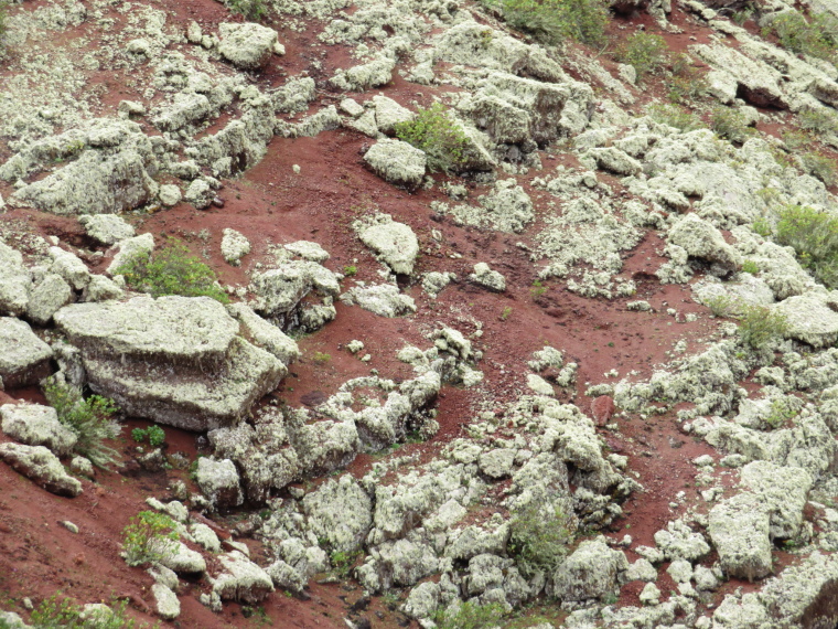
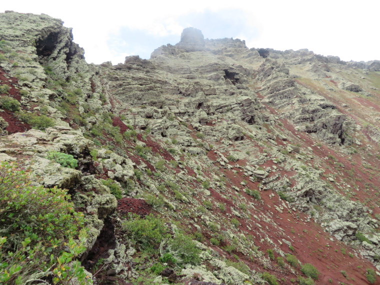
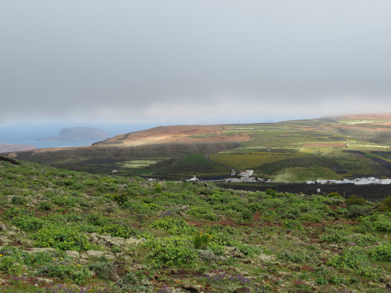
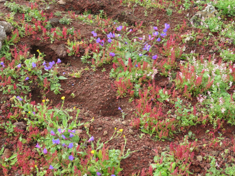
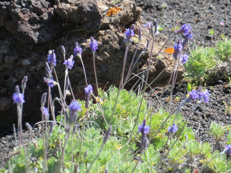
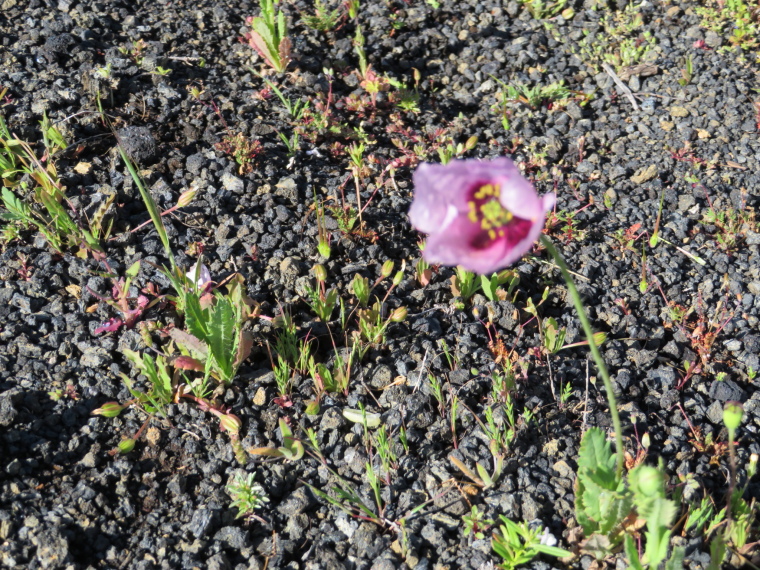
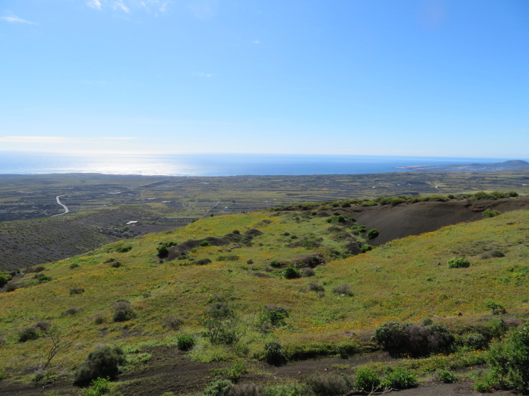
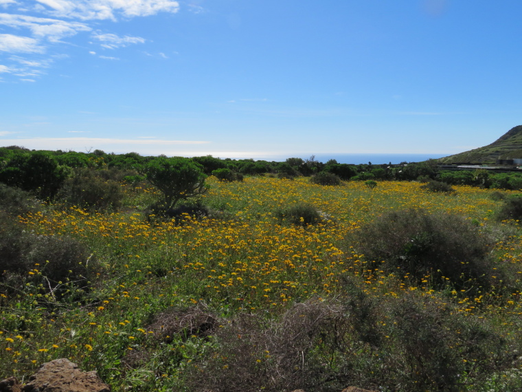
- There are several great walks in the area of Maguez on Lanzarote’s far northern ridge.
Walkopedia rating
- Walkopedia rating95
- Beauty34
- Natural interest16
- Human interest12
- Charisma33
- Negative points0
- Total rating95
Vital Statistics
- Length: Your choice
- Maximum Altitude: 609m
- Level of Difficulty: Variable

WALK SUMMARY
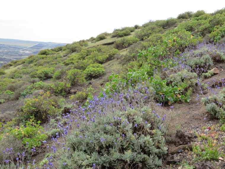
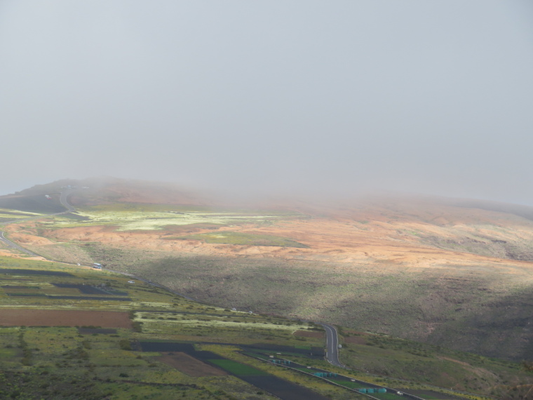
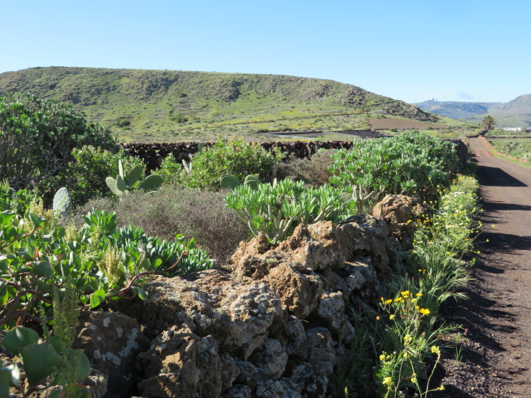
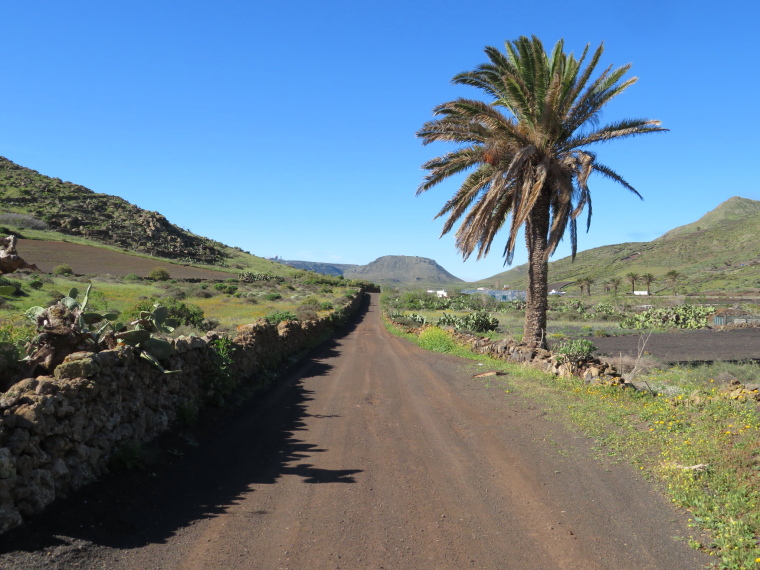
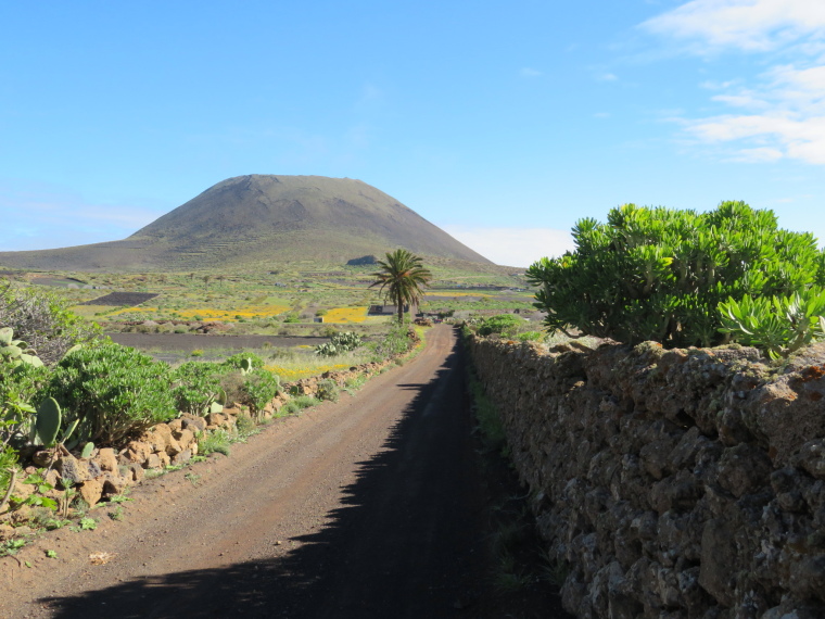
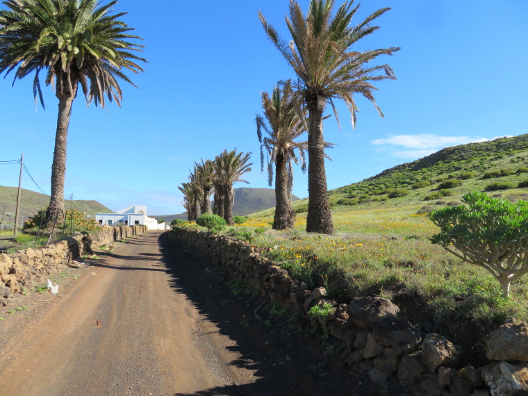
There are several great walks in the area of Maguez on Lanzarote’s far northern ridge.
The two finest walks are:
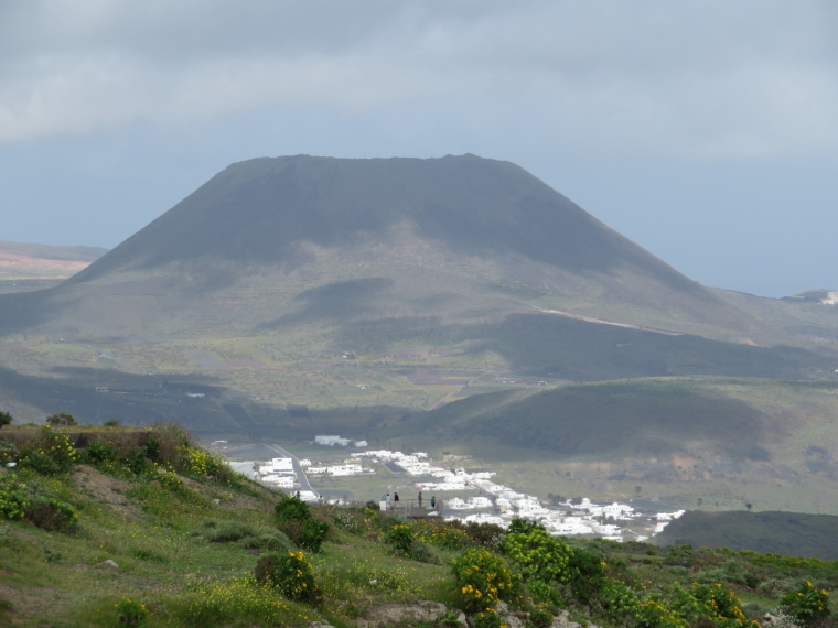
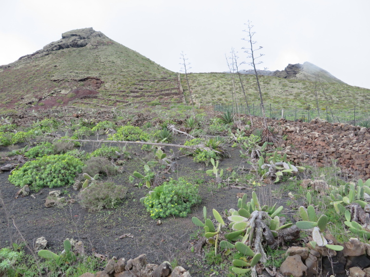
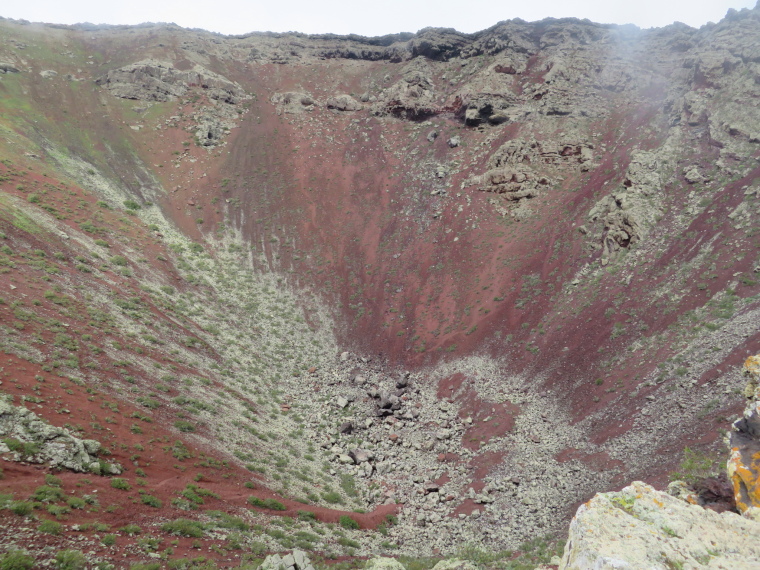
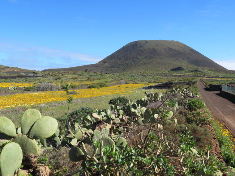
Climbing extraordinary and visually dominating Montaña Corona from Maguez to the south.
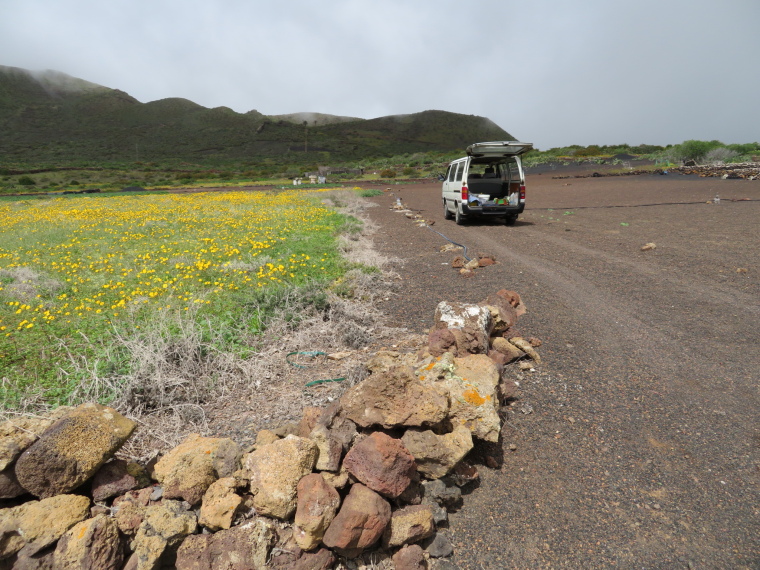
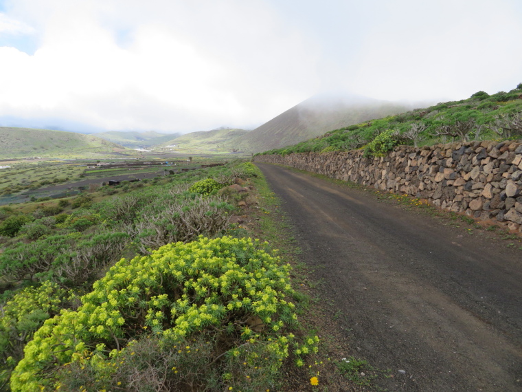
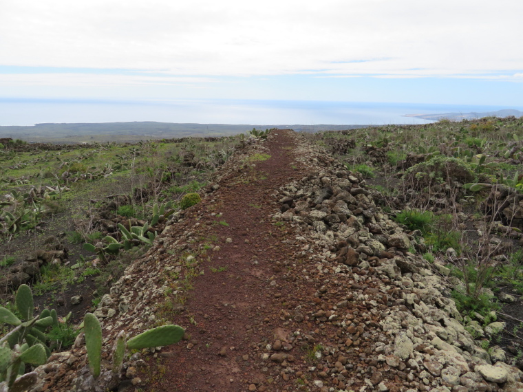
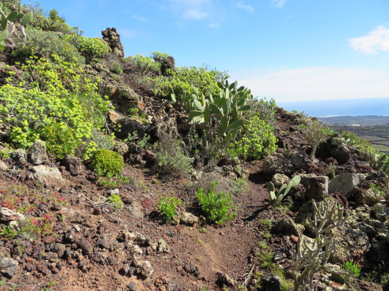
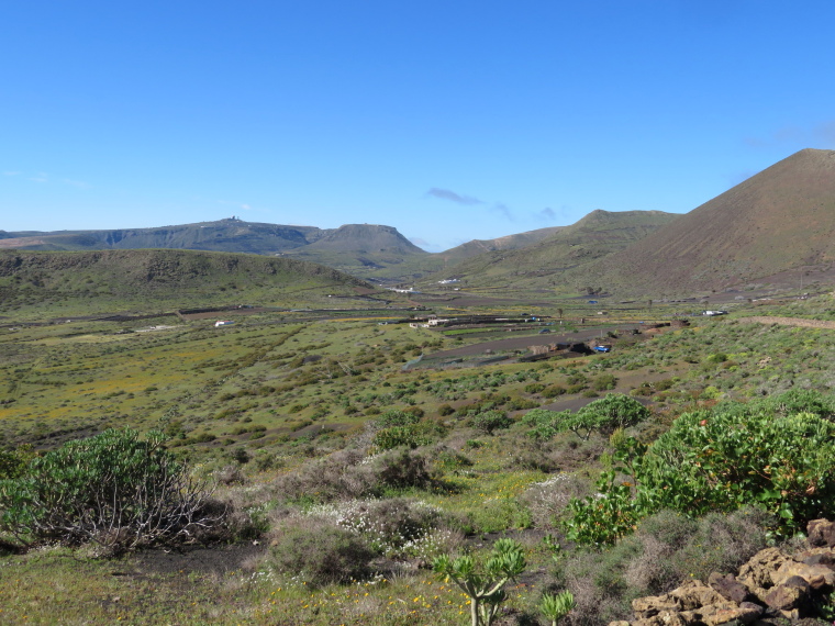
Los Helechos and the Hills and Valleys West of Maguez: a climb up to a small farming plateau west of Maguez, then an ascent of a particularly fascinating volcanic group and a wind back down into the Guinate valley to the north; all through lovely and interesting farmland and with some of the island's best views.
Also worthwhile is the descent of the winding path down the dramatic Risco cliffs west of Ye to the plain below, and some superb and empty beaches and, if you feel like it, some abandoned salt pans.
This is strenuous walking in dry mountains. Come prepared, including carrying enough water.
Lanzarote– Sunflower guides: 31 varied walks, including these. Very good. Recommended. Find relevant books on Amazon.
Our friends and partners Responsible Travel have a selection of holidays here.
See our Lanzarote page for more general and practical information and photos.
We want to tell more - please send us your ideas, suggestions, experiences and photos.
Other accounts: share your experiences
Your comments on this walk, your experiences and suggestions, and your photos are very welcome. Where appropriate, you will be credited for your contribution.
Safety and problems: All walks have inherent risks and potential problems, and many of the walks featured on this website involve significant risks, dangers and problems. Problems of any sort can arise on any walk. This website does not purport to identify any (or all) actual or potential risks, dangers and problems that may relate to any particular walk.
Any person who is considering undertaking this walk should do careful research and make their own assessment of the risks, dangers and possible problems involved. They should also go to “Important information” for further important information.
Anyone planning an expedition to this place should see further important information about this walk.
Responsible travel matters, a lot. How you travel will make a real difference - for better or worse. PLEASE consider this when making plans. Read more
Contents
Other great walks in Spain
-
Via de la Plata (Seville to Santiago)
-
Andalucia, Cabo de Gata
-
Andalucia, Camino del Rey
-
Canary Islands, El Golfo, El Hierro
-
Canary Islands: Gran Canaria, Altavista Ridge
-
Canary Islands: Gran Canaria, Cruz Grande to the Nieves Ridge
-
Canary Islands: Gran Canaria, Inagua
-
Canary Islands: Gran Canaria, Pico de las Nieves
-
Canary Islands: Gran Canaria, Roque Nublo
-
Canary Islands: La Palma, Barranco de Herradura
-
Canary Islands: La Palma, Caldeira de Taburiente
-
Canary Islands: La Palma, La Palma
-
Canary Islands: La Palma, Los Tilos
-
Canary Islands: La Palma, Route of the Volcanoes
-
Canary Islands: La Palma, Ruta de la Cresteria
-
Canary Islands: Tenerife, Anaga Peninsula
-
Canary Islands: Tenerife, El Portillo down into La Orotava
-
Canary Islands: Tenerife, El Teide and Pico Viejo
-
Canary Islands: Tenerife, Guajara
-
Canary Islands: Tenerife, La Orotava
-
Canary Islands: Tenerife, Las Canadas and El Tiede
-
Canary Islands: Tenerife, Roques de Garcia
-
Canary Islands: Tenerife, Samara
-
Canary Islands: Tenerife, Tenerife
-
Catalonia, Catalan Hills
-
Central, Sierra de Madrid
-
Galicia, Camino dos Faros
-
Mallorca, Tramuntana Traverse
-
NW, Galicia, O Cebreiro
-
NW, Galicia, O Vello Lugo Agrario
-
NW, Picos de Europa, Aliva Circuit
-
NW, Picos de Europa, Cares Gorge (Garganta del Cares)
-
NW, Picos de Europa, Jermoso Traverse
-
NW, Picos de Europa, Monfechu
-
NW, Picos de Europa, Valle del Dudje
-
NW, The Camino, Camino del Norte (Camino de Santiago alternative route)
-
NW, The Camino, Camino Frances (Camino de Santiago)
-
Picos de Europa, Lago de la Ercina
-
Pyrenees, Aigues Tortes
-
Pyrenees, Anisclo Canyon
-
Pyrenees, GR11
-
Pyrenees, Maladeta Massif
-
Pyrenees, Ordesa Canyon
-
Pyrenees, Ordesa/Monte Perdido NP
-
Pyrenees, Pineta Valley
-
Pyrenees, Posets Massif
-
Pyrenees, Valle de Tena
-
South-east, Montserrat
RESEARCH ESSENTIALS
Information and review
Finding flights, organising travel
Car hire
Accommodation
- Booking.com
 Search and book the best places to stay
 -
TripAdvisor
Equipment & Clothing
Books and Maps
- Amazon
- Maps and guides from Maps Worldwide
- Cicerone � explore the world�s best collection of walking books
Holidays and Activities

MAGAZINE
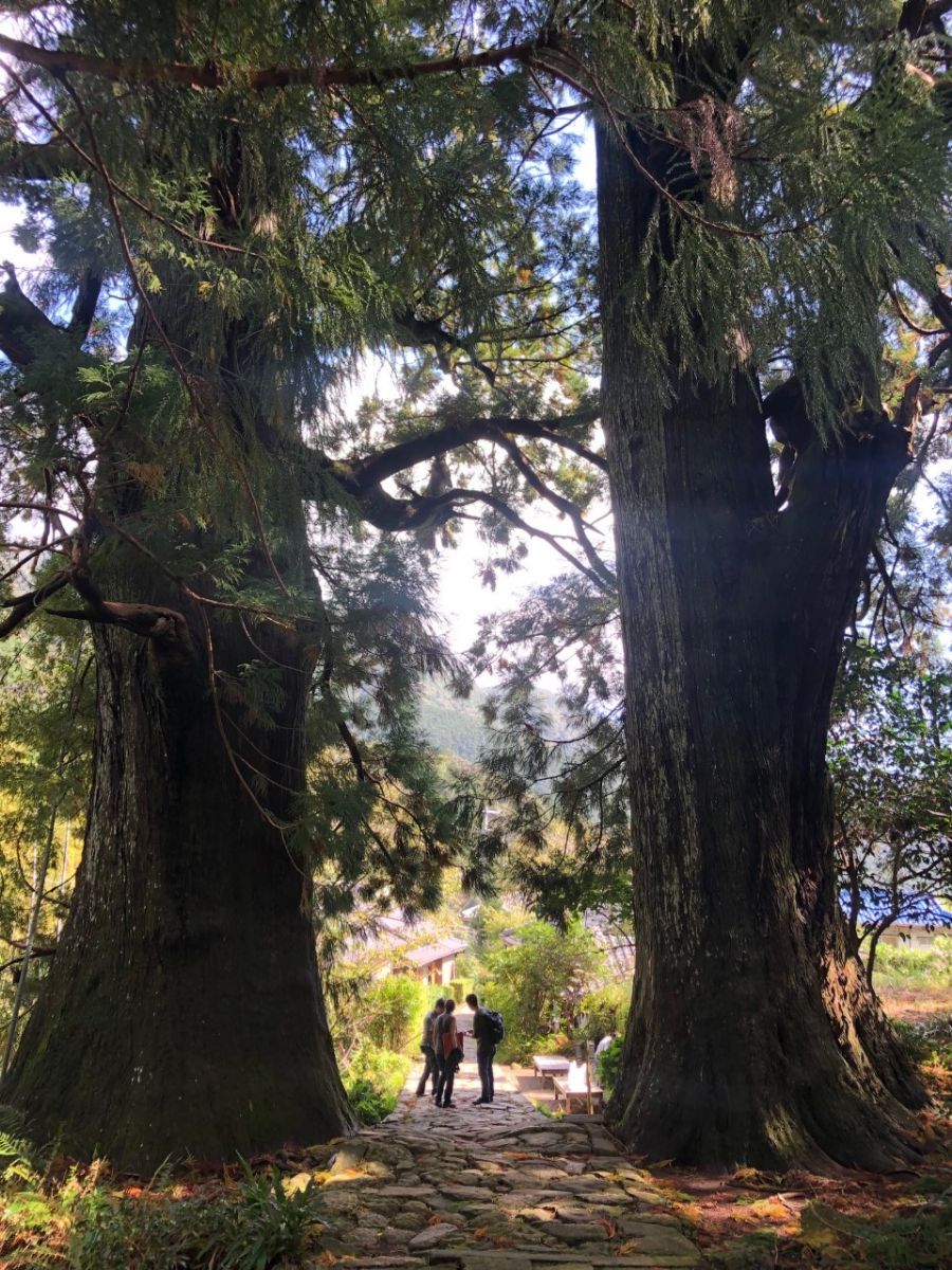
Walking with Trees: the Kumano Kōdō Kōhechi - Stephen Barber's account and photos of one of Japan's great pilgrimage trails. March 2021
RESPONSIBLE TRAVEL
Responsible travel matters, a lot. How you travel will make a real difference - for better or worse. PLEASE consider this when making plans. Read more
